To generate the height map of an area of the Earth
- Navigate to https://heightmap.skydark.pl
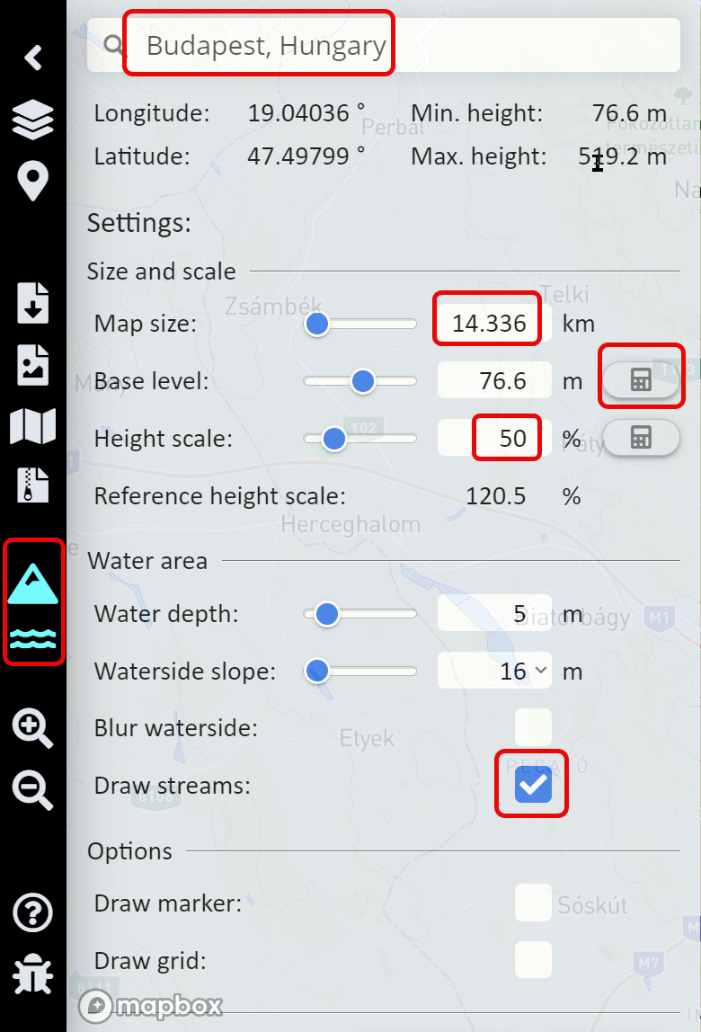
- Enter the name of the city in the search box
- Set the Map size to 14.336 km
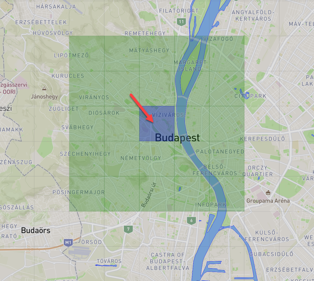
- To move the selected area on the map, click and drag the central blue square.
- To move the map closer to the sea level, click the Base level calculator button
- Select Draw water streams to create the correct river and lake beds on the height map.

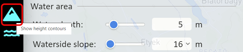
- To display the elevation contour lines on the map image enable the Show height contours button
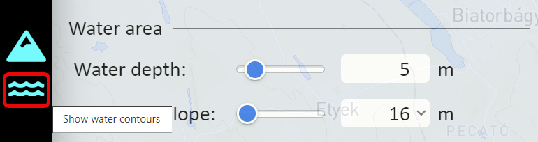
- To display the edge of the water on the map image enable the Show water contours button
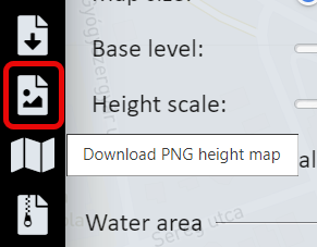
- Click the Download PNG height hap button to download the height map.
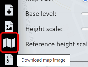
- Click the Download map image button to download the map for the overlay image.