
This free web site generates high resolution height maps for the map editor, and map images for the Image Overlay mod in Cities: Skylines II
Create a free Mapbox token.
Create the map image and height map
- Navigate to Cities: Skylines Map Generator
- On the left side open the Settings (i) page

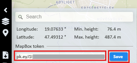
- Paste the Mapbox token into the field and click the Save button. The token is saved on your computer in the web browser’s local storage, not on the server.
Set the map center point
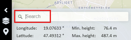
- On the Settings (i) page enter the name of the city or town to set the center point of the map
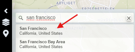
- Select the location from the list
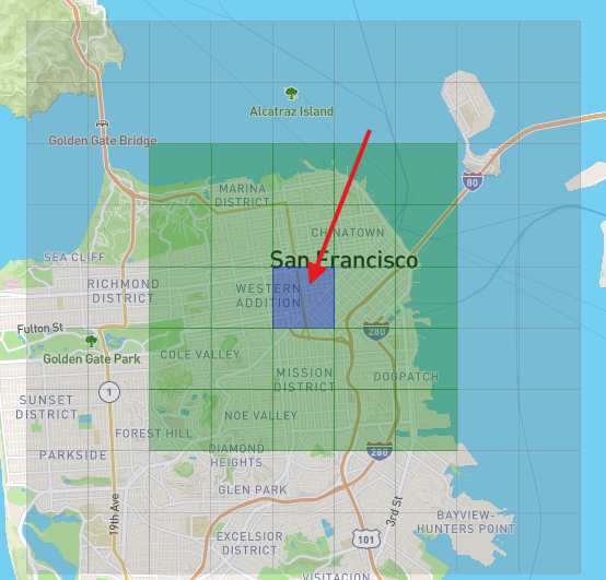
- If the map does not automatically scroll to that location, drag the map with the mouse to reveal the grid. If you click the map without dragging it, the center of the grid moves there. The shaded area shows the small and large map sizes of the Cities: Skylines II game grid.
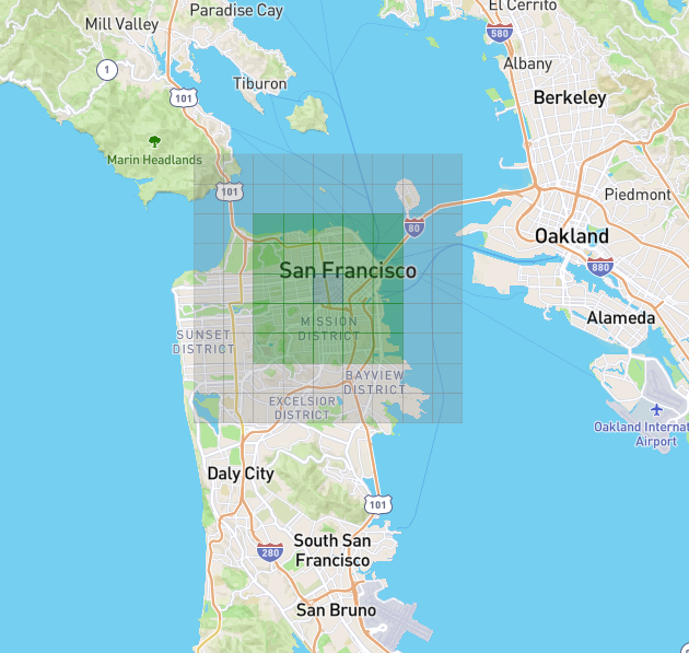
- Drag the center of the grid to fine tune the center location
Set the map parameters
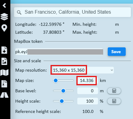
The Cities: Skylines Image Overlay mod can use square png files up-to 16,384×16,384 pixel size. Set the
- Resolution to 15,360 x 15,360 for the highest quality image this site can generate
- Map size to 14,336
Generating map images for the Image Overlay mod
For map images the settings above are sufficient.
Set the map style
- On the left side select the Map Style page

- Select the map style
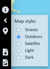
- To download the map image click the Download map image button

- If the browser asks, click the Allow multiple file downloads button
- The site generates three files:
- combined image
- left side
- right side
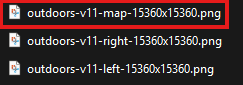
most of the time the combined image is successfully generated, use that. High resolution satellite image generation can overload the server memory. In this case the size of the combined image is 0 kB. In this case use the free IrfanView graphics editor to stitch the left and right images together.
Stitching two images together
If the map generator runs out of memory and cannot stitch the left and right image together, we can use the free IrfanView graphics editor.
- Download and install the IrfanView editor from IrfanView 64-bit version
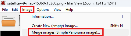
- In the Image menu select Merge images (Simple Panorama image)...
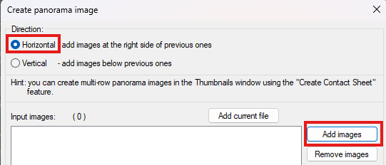
- Keep Horizontal selected, and click the Add images button
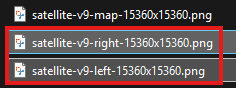
- Select the right and left images
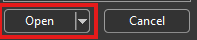
- Click the Open button
- Click the Create image button
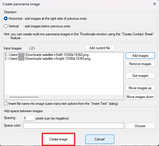
- Save the generated image
Generating height maps for the Cities: Skylines II map editor
To generate a height map for the map editor
- Set the
- Height scale
- Water depth
- Enable streams if desired
- To reduce the height of the mountains for easier road building, set the Height scale to less than 100%
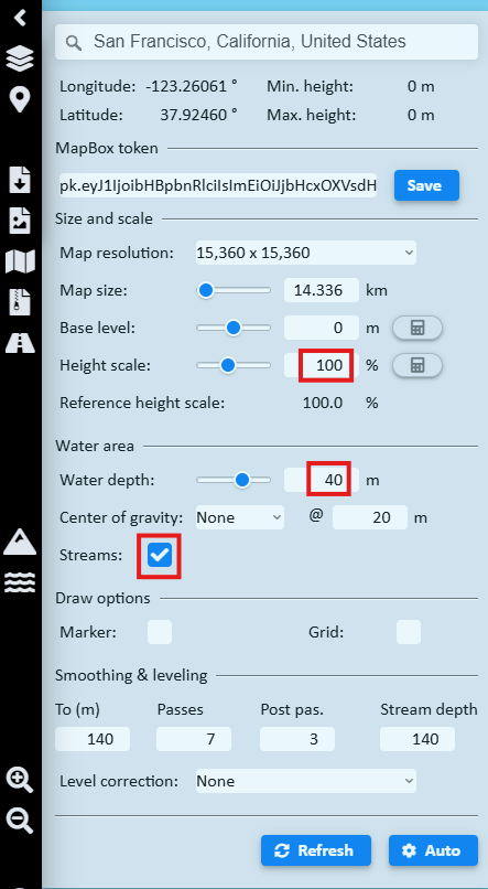
- Click the Download PNG height map button to generate the gray scale graphics file which represents the terrain elevation points.

